

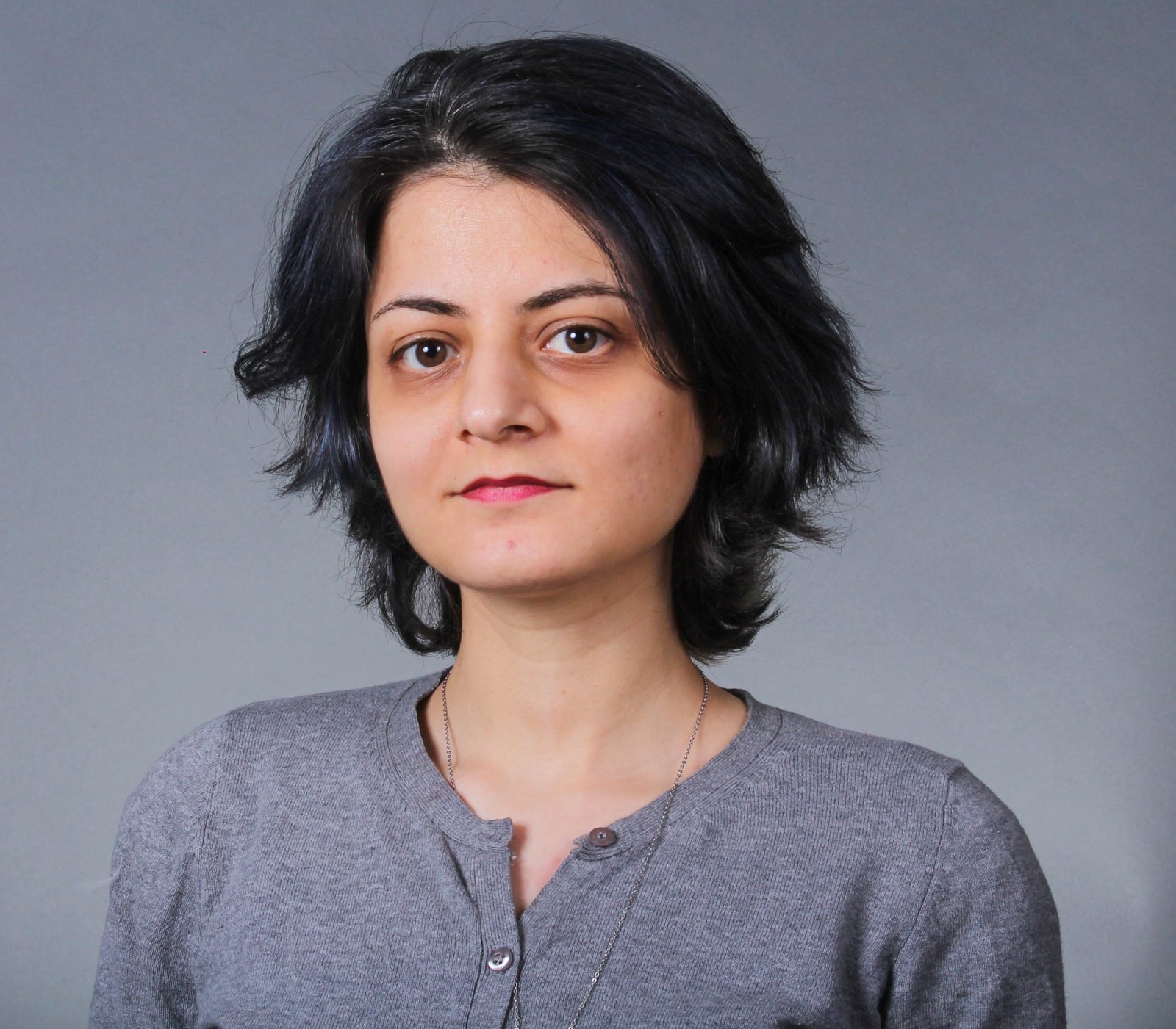
Zahra Arjmandi has started her doctorate program in the winter, 2019. Her research focuses on UWB-based positioning, dynamic path planning, automated quality assessment of the inspection mission, and computer vision-based anomaly detection.
Projects:
Zahra is part of the Q-Drone project, which is supported by the NSERC (Natural Sciences and Engineering Research Council of Canada) and MITACS. The Q-Drone team is designing the Q-Drone system for conducting engineering inspections to generate 3D asset environments and detect anomalies in a GPS-denied environment. The Q-Drone system aims to achieve UWB-based positioning, dynamic path planning, automated quality assessment of the inspection mission, and computer vision-based anomaly detection.
Publications:
Z. Arjmandi, F. Bakhtiari Nejad and M. A. Ahmadi Pajouh, “Design, Fabrication, and Verification of Continuous Passive Motion Equipment for the Index Finger,” in 2018 25th National and 3rd International Iranian Conference on Biomedical Engineering (ICBME), 29-30 Nov. 2018
Education:
Doctorate of Philosophy (Ph.D.), Earth and Space Sciences, York University, Canada
Master of Sciences (MS), Mechatronics Engineering, Amirkabir University of Technology, Iran
Bachelor of Science (BS), Mechanical Engineering, University of Tehran, Iran
2019 – Present
2015 – 2018
2009 – 2013
Experience:
Research:
Graduate Research Assistant, GeoICT/ AUSMLab, York University Canada
Research Assistant, Movement Control and Rehabilitation Lab, Amirkabir University of Technology, Iran
Research Assistant, Center of Advanced Systems and Technologies (CAST), University of Tehran, Iran
Jan, 2019 – Present
Aug, 2016 – April, 2017
Jun, 2012 – Dec, 2016
Teaching:
Teaching Assistant, York University, Canada
Jan, 2019 – Present
Professional:
Iran Industrial Vibration Co (IIVCO), Iran
Favaran Co, Iran
Jul, 2012 – Sep, 2013
Jul, 2012 – Sep, 2013
Publications (7)
2025
- Zhang, Y., Ahmadi, S. M., Kang, J., Arjmandi, Z., and Sohn, G. (2025). YUTO MMS: A Comprehensive SLAM Dataset for Urban Mobile Mapping with Tilted LiDAR and Panoramic Camera Integration. The International Journal of Robotics Research, 44(1), 3-21.
- Arjmandi, Z. and Sohn, G. (2025). Dynamic Recalibration in LiDAR SLAM: Integrating AI and Geometric Methods with Real-Time Feedback Using INAF Fusion. arXiv preprint arXiv:2510.15803.
2024
- Arjmandi, Z., Kang, J., Sohn, G., Armenakis, C., and Shahbazi, M. (2024). DeepCovPG: Deep-Learning-based Dynamic Covariance Prediction in Pose Graphs for Ultra-Wideband-Aided UAV Positioning. IEEE 20th International Conference on Automation Science and Engineering (CASE), 3836-3843.
2023
- Ahmadi, M., Alizadeh Naeini, A., Sheikholeslami, M. M., Arjmandi, Z., Zhang, Y., and Sohn, G. (2023). HDPV-SLAM: Hybrid Depth-Augmented Panoramic Visual SLAM for Mobile Mapping System with Tilted LiDAR and Panoramic Visual Camera. IEEE 19th International Conference on Automation Science and Engineering (CASE).
2020
- Kang, J., Park, K., Arjmandi, Z., Sohn, G., Shahbazi, M., and Menard, P. (2020). Ultra-wideband Aided UAV Positioning Using Incremental Smoothing with Ranges and Multilateration. IEEE/RSJ International Conference on Intelligent Robots and Systems (IROS).
- Arjmandi, Z., Kang, J., Park, K., and Sohn, G. (2020). Benchmark Dataset of Ultra-wideband Radio Based UAV Positioning. IEEE 23rd International Conference on Intelligent Transportation Systems (ITSC).
- Park, K., Kang, J., Arjmandi, Z., Shahbazi, M., and Sohn, G. (2020). Multilateration under Flip Ambiguity for UAV Positioning Using Ultrawide-band. ISPRS Ann. Photogramm. Remote Sens. Spatial Inf. Sci.