
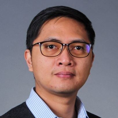
Dr. Pio Claudio has started working as a software engineer and research associate in the summer, 2020. His research focuses on urban mobility and 2D/3D visualization.
Dr.Claudio is part of Intelligent Systems for Sustainable Urban Mobility (ISSUM) funded by the Ontario Research Fund, York University, University of Waterloo, and private sector partners (Esri Canada, Fugro Roadware, Miovision, Mircom, Teledyne Optech, Exascale Solutions, Trans-Plan)
Experience
- April, 2020–Present: Research Associate, GeoICT/ AUSMLab, York University Canada
- Aug, 2017–Mar, 2020: Postdoctoral Fellow, GeoICT/ AUSMLab, York University Canada
- Mar, 2008–Feb, 2017: Research Assistant, Scalable Graphics/Geometric Algorithm Lab, KAIST, South Korea
- Jun, 2006–Oct, 2007: Instructor, University of the Philippines, Philippines
- April, 2020–Present: Software Engineer, ISSUM, York University, Canada
- Mar, 2017–Jul, 2017: Systems Analyst, Nova Solutions, Philippines
Publications (4)
2020
- Alizadeh Naeini, A., Ahmad, A., Sheikholeslami, M. M., Claudio, P., and Sohn, G. (2020). An Unsupervised Registration of 3D Point Clouds to 2D CAD Model: A Case Study of Floor Plan. ISPRS Ann. Photogramm. Remote Sens. Spatial Inf. Sci.
- Ahmad, A., Claudio, P., Alizadeh Naeini, A., and Sohn, G. (2020). Wi-Fi RSS Fingerprinting for Indoor Localization Using Augmented Reality. ISPRS Ann. Photogramm. Remote Sens. Spatial Inf. Sci.
2019
- Yang, S., Claudio, P., Ahmad, A., Park, P. Y., and Sohn, G. (2019). Development of a Computer-Vision Based Real-Time Pedestrian Comfort Estimation System (poster). Transportation Association of Canada and ITS Canada Joint Conference.
2018
- Hor, A. H., Sohn, G., Claudio, P., and Jadidi, M. (2018). A Semantic Graph Database for BIM-GIS Integrated Information Model for an Intelligent Urban Mobility Web Application. ISPRS Ann. Photogramm. Remote Sens. Spatial Inf. Sci., 89-96.