

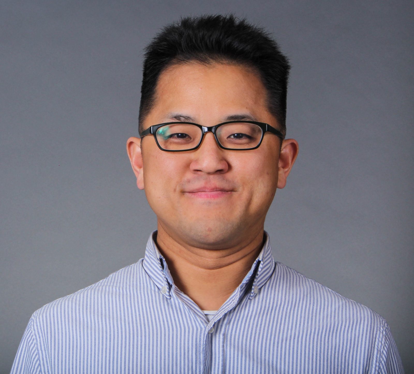
Dr. Jungwon Kang has started to join in Dr. Gunho Sohn’s research team in the spring, 2017. His research focuses on computer vision and robotics, including artificial intelligence-based perception and SLAM.
Projects:
Dr. Kang is a part of the 3D Mobile Mapping Artificial Intelligence (3DMMAI) project, which is supported by the NSERC (Natural Sciences and Engineering Research Council of Canada) Collaborative Research Development (CRD) program and Teledyne Optech in Toronto. He is also a part of ‘OnTRAC: Safe and Robust Obstacle Detection for Autonomous Rail‘ project, which is funded by the OCE and Autonomous Vehicle Innovation Network – AV R&D partnership fund.
Publications:
Jungwon Kang, Yujia Zhang, Zhen Liu, Andrew Sit and Gunho Sohn, “RPV-SLAM: Range-augmented Panoramic Visual SLAM for Mobile Mapping System with Panoramic Camera and Tilted LiDAR,” ICAR, 2021.
J. Kang, K. Park, Z. Arjmandi, G. Sohn, M. Shahbazi and P. Ménard, “Ultra-Wideband Aided UAV Positioning Using Incremental Smoothing with Ranges and Multilateration,” IEEE/RSJ IROS, 2020.
Z. Arjmandi, J. Kang, K. Park and G. Sohn, “Benchmark Dataset of Ultra-wideband Radio based UAV Positioning,” IEEE ITSC, 2020.
K. Park, J. Kang, Z. Arjmandi, M. Shahbazi and G. Sohn, “Multilateration under Flip Ambiguity for UAV Positioning Using Ultrawide-band,” ISPRS Congress, 2020.
K. Zhao, J. Kang, J. Jung and G. Sohn, “Building Extraction from Satellite Images Using Mask R-CNN with Building Boundary Regularization,” CVPR-W, 2018.
C. Ko, J. Kang, G. Sohn, “Deep Multi-task Learning for Tree Genera Classification,” ISPRS Technical Commission II Symposium, 2018.
Education:
Doctor of Philosophy (Ph.D.), School of Electrical Engineering, KAIST, South Korea
Master of Sciences (MS), Electrical Engineering & Computer Science, KAIST, South Korea
Bachelor of Engineering (B.E.), School of Electrical Engineering, Korea University, South Korea
2006 – 2016
2004 – 2006
2004
Experience:
Research:
Research Associate/ Postdoctoral Researcher , GeoICT/ AUSMLab, York University Canada
Postdoctoral Researcher, KAIST Institute for Robotics, Daejeon, South Korea
Intern Scholar, Robotics Institute, Carnegie Mellon University, Pittsburgh, PA, USA
Apr, 2017 – Sep, 2021
Apr, 2016 – Jan, 2017
Jan, 2009 – Sep, 2009
Teaching:
Teaching Assistant, KAIST, Daejeon, South Korea
2005 – 2007
Publications (12)
2025
- Zhang, Y., Ahmadi, S. M., Kang, J., Arjmandi, Z., and Sohn, G. (2025). YUTO MMS: A Comprehensive SLAM Dataset for Urban Mobile Mapping with Tilted LiDAR and Panoramic Camera Integration. The International Journal of Robotics Research, 44(1), 3-21.
2024
- Arjmandi, Z., Kang, J., Sohn, G., Armenakis, C., and Shahbazi, M. (2024). DeepCovPG: Deep-Learning-based Dynamic Covariance Prediction in Pose Graphs for Ultra-Wideband-Aided UAV Positioning. IEEE 20th International Conference on Automation Science and Engineering (CASE), 3836-3843.
2023
- Zhang, Y., Kang, J., and Sohn, G. (2023). PVL-Cartographer: Panoramic Vision-Aided LiDAR Cartographer-Based SLAM for Maverick Mobile Mapping System. Remote Sensing, 15(13), 3383.
- Ghorbanalivakili, M., Kang, J., Sohn, G., Beach, D., and Marin, V. (2023). TPE-Net: Track Point Extraction and Association Network for Rail Path Proposal Generation. IEEE 19th International Conference on Automation Science and Engineering (CASE).
2021
- Kang, J., Zhang, Y., Liu, Z., Sit, A., and Sohn, G. (2021). RPV-SLAM: Range-augmented Panoramic Visual SLAM for Mobile Mapping System with Panoramic Camera and Tilted LiDAR. 20th International Conference on Advanced Robotics (ICAR), 1066-1072.
2020
- Kang, J., Park, K., Arjmandi, Z., Sohn, G., Shahbazi, M., and Menard, P. (2020). Ultra-wideband Aided UAV Positioning Using Incremental Smoothing with Ranges and Multilateration. IEEE/RSJ International Conference on Intelligent Robots and Systems (IROS).
- Arjmandi, Z., Kang, J., Park, K., and Sohn, G. (2020). Benchmark Dataset of Ultra-wideband Radio Based UAV Positioning. IEEE 23rd International Conference on Intelligent Transportation Systems (ITSC).
- Park, K., Kang, J., Arjmandi, Z., Shahbazi, M., and Sohn, G. (2020). Multilateration under Flip Ambiguity for UAV Positioning Using Ultrawide-band. ISPRS Ann. Photogramm. Remote Sens. Spatial Inf. Sci.
2018
- Zhao, K., Kang, J., Jung, J., and Sohn, G. (2018). Building Extraction from Satellite Images Using Mask R-CNN with Building Boundary Regularization. IEEE/CVF Conference on Computer Vision and Pattern Recognition (CVPR) Workshops.
- Baligh Jahromi, A., Sohn, G., Jung, J., Shahbazi, M., and Kang, J. (2018). Layout SLAM with Model Based Loop Closure for 3D Indoor Corridor Reconstruction. ISPRS Ann. Photogramm. Remote Sens. Spatial Inf. Sci.
- Ko, C., Kang, J., and Sohn, G. (2018). Deep Multi-task Learning for Tree Genera Classification. ISPRS Ann. Photogramm. Remote Sens. Spatial Inf. Sci.
2017
- Baligh Jahromi, A., Sohn, G., Shahbazi, M., and Kang, J. (2017). A Preliminary Work on Layout SLAM for Reconstruction of Indoor Corridor Environments. ISPRS Ann. Photogramm. Remote Sens. Spatial Inf. Sci.