
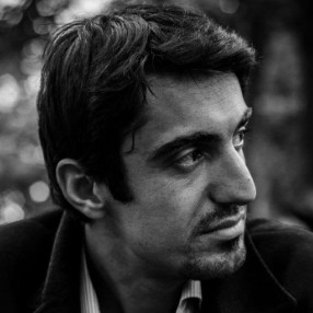
Ali earned his Ph.D. in the lab in 2019 with a thesis on 3D indoor modelling from optical point clouds. He then worked as a postdoctoral fellow at Y-EMERGE, York University. He rejoined the lab in 2026 as a GeoAI researcher and works on the lab's project with the Ontario Ministry of Transportation (MTO).
Current projects
- GeoAI project with the Ontario Ministry of Transportation (MTO)
Publications (6)
2020
- Baligh Jahromi, A., Sohn, G., Jung, J., Park, K., and Recchia, D. (2020). Participatory Image-based Models Alignment for Reconstructing a Large-scale Indoor Mapping. ISPRS Ann. Photogramm. Remote Sens. Spatial Inf. Sci.
2018
- Baligh Jahromi, A., Sohn, G., Jung, J., Shahbazi, M., and Kang, J. (2018). Layout SLAM with Model Based Loop Closure for 3D Indoor Corridor Reconstruction. ISPRS Ann. Photogramm. Remote Sens. Spatial Inf. Sci.
2017
- Baligh Jahromi, A., Sohn, G., Shahbazi, M., and Kang, J. (2017). A Preliminary Work on Layout SLAM for Reconstruction of Indoor Corridor Environments. ISPRS Ann. Photogramm. Remote Sens. Spatial Inf. Sci.
2016
- Babacan, K., Jung, J., Wichmann, A., Baligh Jahromi, A., Shahbazi, M., Sohn, G., et al. (2016). Towards Object Driven Floor Plan Extraction from Laser Point Cloud. Int. Arch. Photogramm. Remote Sens. Spatial Inf. Sci.
- Baligh Jahromi, A. and Sohn, G. (2016). Geometric Context and Orientation Map Combination for Indoor Corridor Modeling Using a Single Image. Int. Arch. Photogramm. Remote Sens. Spatial Inf. Sci.
2015
- Baligh Jahromi, A. and Sohn, G. (2015). Edge Based 3D Indoor Corridor Modeling Using a Single Image. ISPRS Ann. Photogramm. Remote Sens. Spatial Inf. Sci.